Drone Thermography for Real-world Use
We provide drone thermography services, practical training, and a knowledge hub to explore technology, standards, datasets, and real-world applications.
Ready to Get Started?
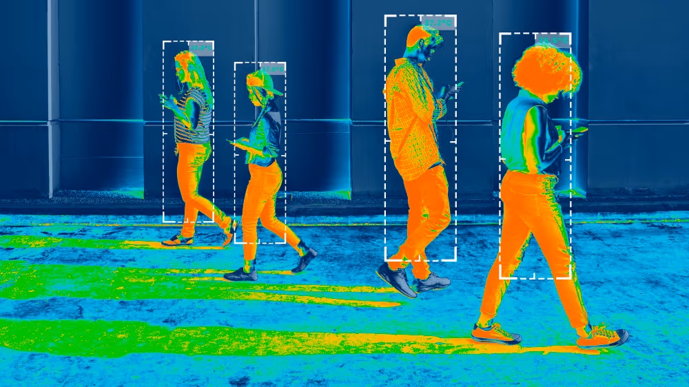
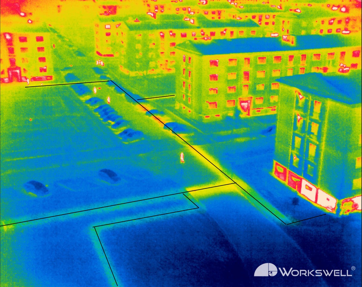
Drone Thermography
We provide drone thermography services for inspection and mapping, helping identify issues, monitor performance, and deliver actionable insights across real-world applications.
ExploreAcademy
Thermography courses covering fundamentals, accurate temperature measurement, safe inspection methods, and real-world workflows with clear reporting.
LearnThermal Hub
We analyzed 200k+ academic and industry papers to build a real-world dataset of thermal imaging topics. Use the search box, topic categories, or industry filters in the sidebar (only desktop) to explore it.
Explore