Aerial data.
Ready to use.
LiDAR, orthophotos, inspections and GIS-ready data—from field capture to final delivery.
Discuss your project →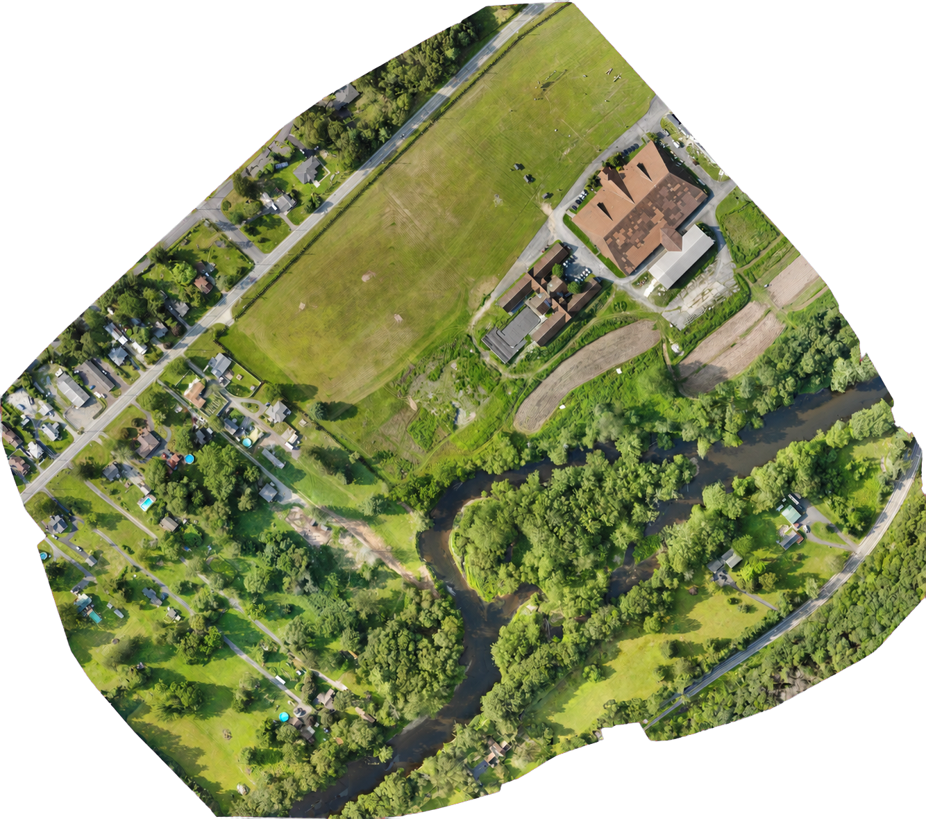
01 / 04
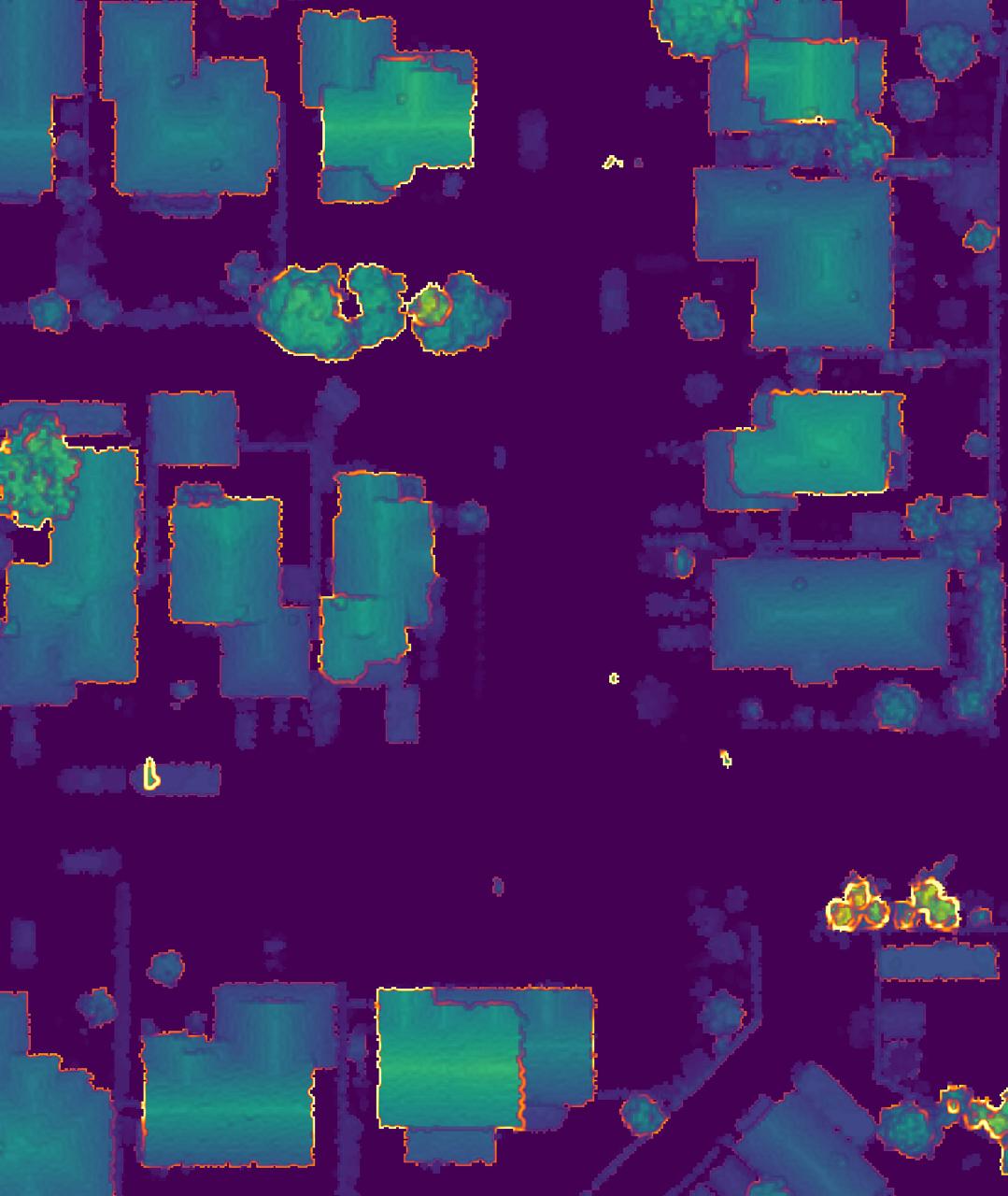
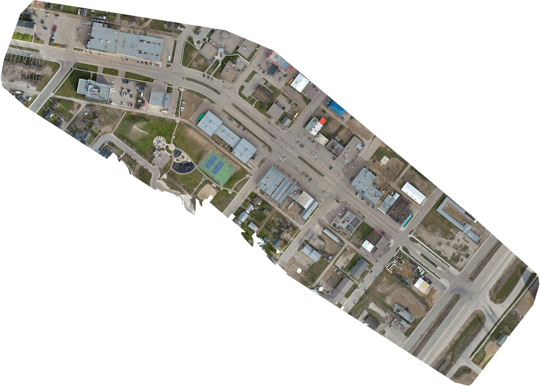
LiDAR
LiDAR-derived 3D surface data for buildings and vegetation in the City of Medicine Hat.
- Point clouds
- DEM & DSM
- Contours & canopy models
02 / 04
Orthophotos
Current, georeferenced imagery for mapping, planning and monitoring.
- GeoTIFF orthomosaics
- 3D models
- Change mapping
03 / 04
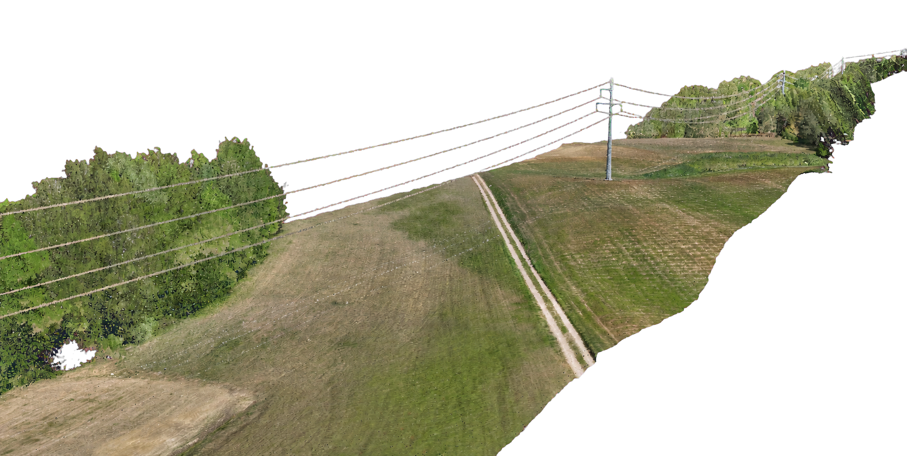
Power line inspection
Aerial corridor data for safer, faster assessment of power lines and surrounding vegetation.
- Corridor mapping
- Asset documentation
- Vegetation clearance
04 / 04
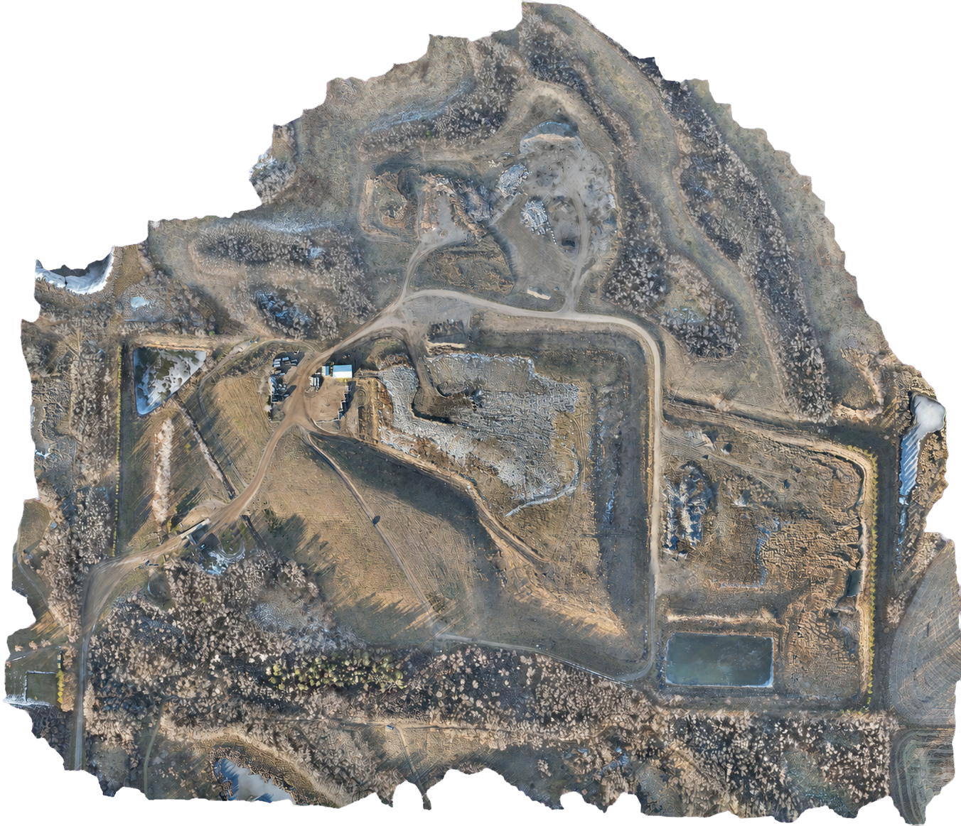
Landfill mapping
Current site data for landfill operations, measurement and ongoing monitoring.
- GIS-ready data
- Surface & volume analysis
- Change monitoring
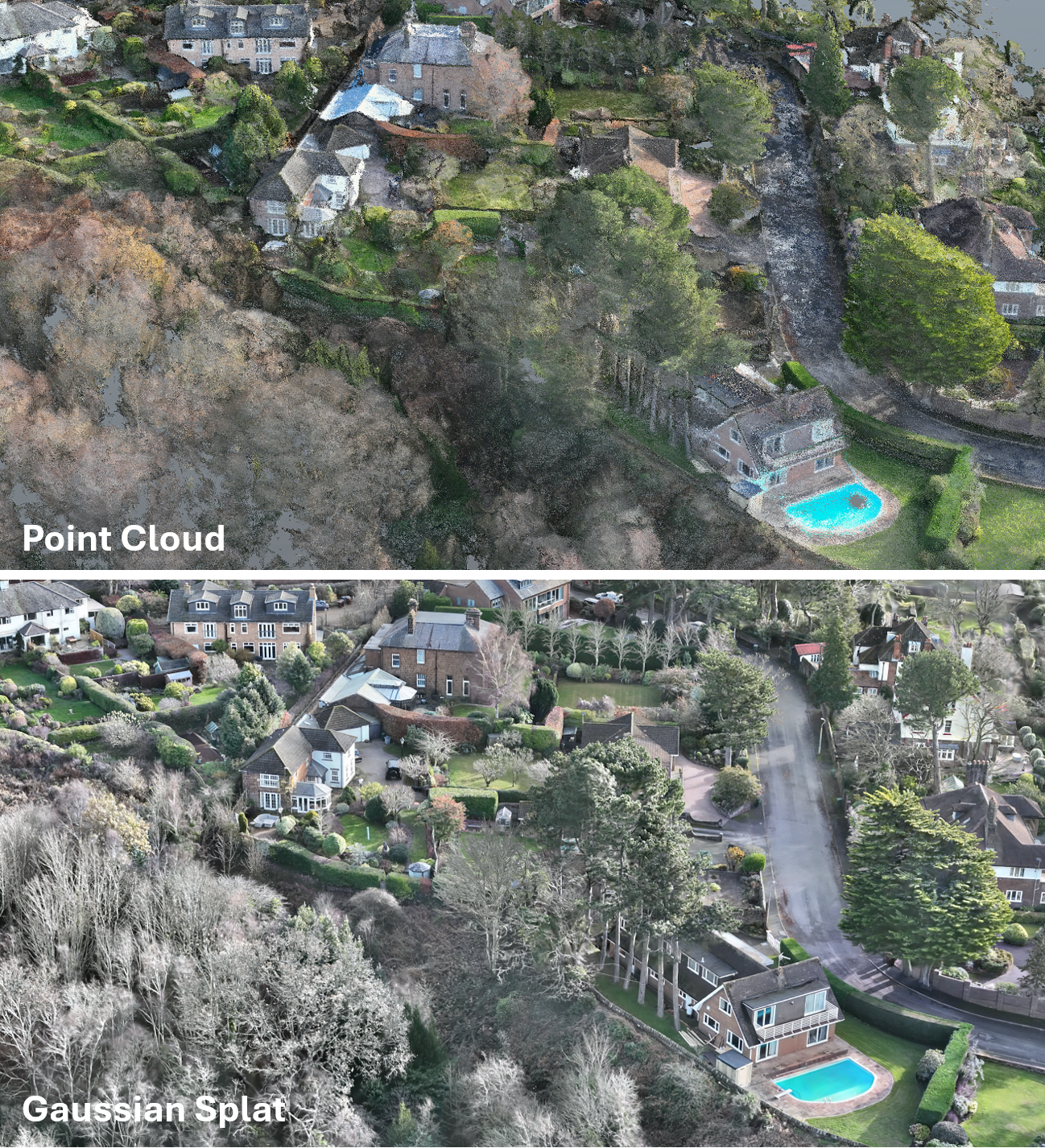
3D visualization
LiDAR + Gaussian splats
We combine LiDAR geometry with drone imagery to create Gaussian splats that preserve fine site details and make complex 3D data easier to explore, review and share.