
Physics-aware AI for thermal imaging.
We combine drone and satellite thermography with physics-aware machine learning to deliver radiometrically accurate, decision-ready insights — at any scale.
One company. Four products. One flywheel.
Research, training, services, and AI analytics — each reinforcing the others.
ThermoIntel
AI-powered thermal analytics. Upload thermal imagery and get decision-ready anomaly reports with radiometric calibration and confidence scoring.
Learn more →Services
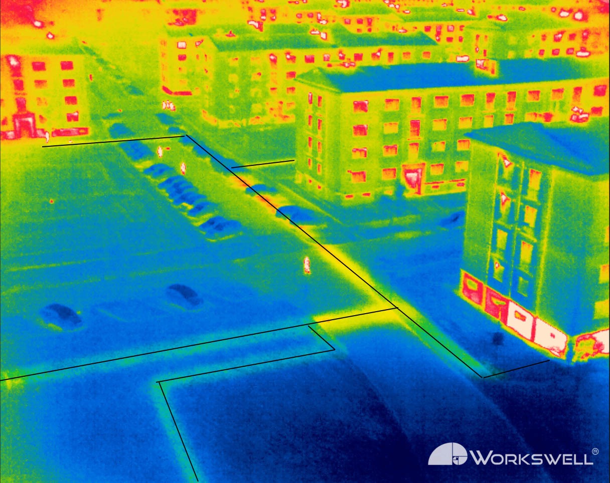
Drone and satellite thermography delivered by certified experts. Solar, aviation, buildings, oil and gas, wind, and powerlines.
Explore industries →Academy
Thermography training and certification — from fundamentals to advanced operational workflows with clear reporting standards.
Start learning →Thermal Hub
A searchable research corpus built on 200,000+ academic and industry papers. Find methods, standards, and real-world applications in seconds.
Explore the dataset →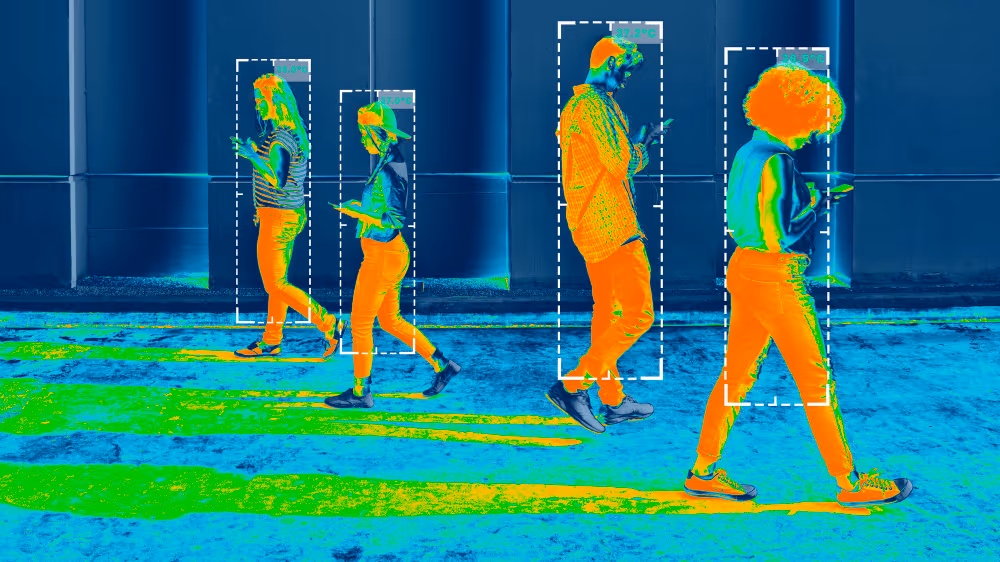
What a ThermoLabs delivery looks like.
Every inspection ends in a decision, not a raw file. Our deliveries combine radiometric rigor with automated detection, so your team spends time acting on findings — not processing imagery.
- Radiometrically calibrated orthomosaics
- Automated anomaly detection with confidence scores
- Zone-level temperature statistics
- Prioritized findings with recommended actions
- Interactive web portal and branded PDF report
How it works.
From raw thermal data to a decision in three steps.
Capture
Drone or satellite-based thermal acquisition, calibrated for your site's environmental conditions.
Analyze
Physics-aware machine learning processes your imagery into radiometrically consistent, labeled outputs.
Decide
Interactive portal and PDF report deliver prioritized findings and recommended actions.
Ready to turn thermal data into decisions?
Book a 30-minute call to discuss your project, workflow, or thermal data requirements.
Talk to sales →